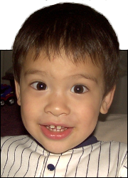
 This is Alpha, the first-born, when he was 2YO.
 This is Beta, the second-born, when he was about 2YO.
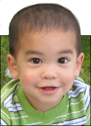 This is Gamma, the third-born, when he was about 18MO.
Gordie Howe Bridge Walk
Aug
27
2026
We took advantage of the newly-opened Gordie Howe Bridge’s free multi-use pathway. All the other methods of entering Canada from Detroit cost money. But thanks to our friends to the south, bicyclists and pedestrians are not charged any tolls on the GHB.
So on a sunny Sunday afternoon, we tried it out. Here are some things that we noticed, and some might be helpful for you to know before you go.
The signage is lacking
You enter through a nondescript building. Here is the building, as seen from the bike path that connects to it and takes you to downtown Detroit if you want.
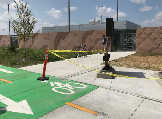
Can you tell if that closest doorway is the entrance or exit? No? Neither could we. It turns out that’s the exit, and the entrance is the farther door (left side of the photo, and the left of the two doors if you’re looking at the building from W. Jefferson).
The only way we could tell is by the sign off to the other side of the pathway.
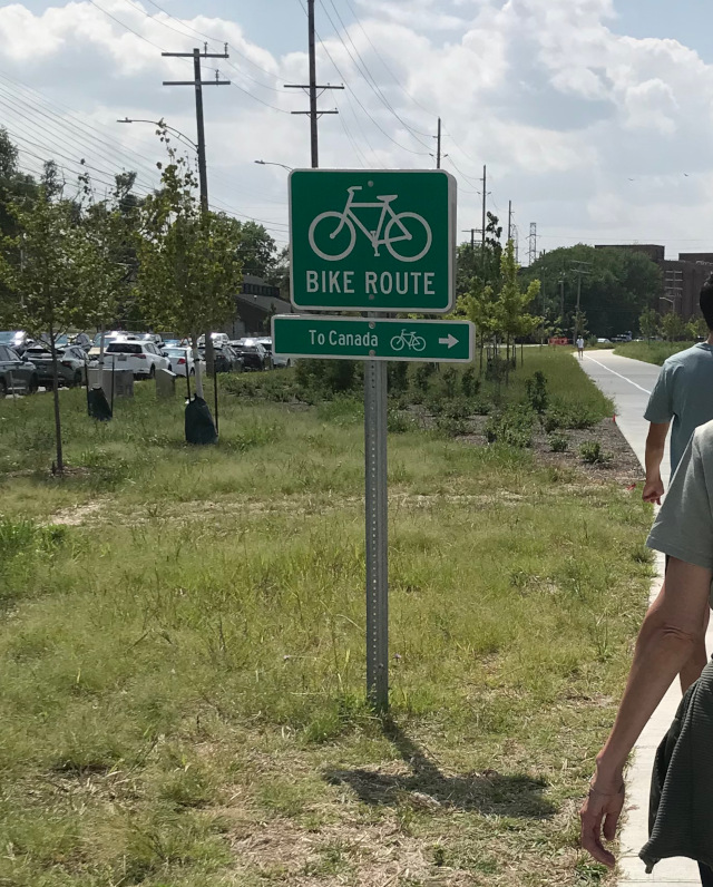
You could also try the doors, as the exit doors won’t let you in. We did not do that, as we didn’t want to attract the wrong kind of attention from the border patrol people.
There are 3 ways to get cross the border at Detroit/Windsor: 2 bridges and one tunnel. Approaching all of those by car, there are plenty of signs to direct you where to go, and you know where to go and what to do and what is expected of you.
With the bike path, there is none of that. No sign on or near the doors that says it is a point-of-no-return. Nothing that warns people they will need proper documents past this point. We generally knew what we wanted to do, but it was still a guessing game.
When we through the entrance, there was a line of people.
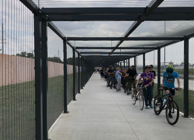
We weren’t sure if that was the line to enter the official bridge pathway or what. We didn’t want to be rude, so we went the end of the line and started waiting. But it didn’t seem right because the line was facing the wrong way, so we asked people in line what the line was for and they said it was to get back into the US. If you want to go across the bridge, just go that way.
So we walked down the fully-fenced-in path (AKA the cage) and ended up on the start of the bridge. I turned around and took this picture, you can see the end of the cage on the right.
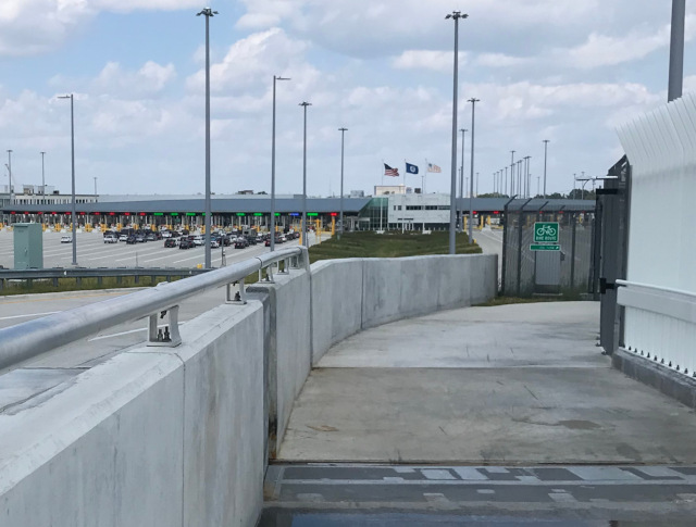
Once we were out in the open, it was a nice day – sunshine and a good breeze. The bridge was popular, but not too crowded. I expect once the novelty wears off it won’t be as popular.
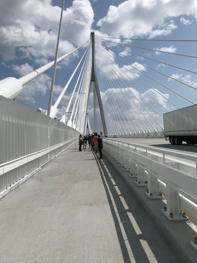
They have a fence along the whole way that is meant to discourage people from jumping off the bridge, so the view looks like this:
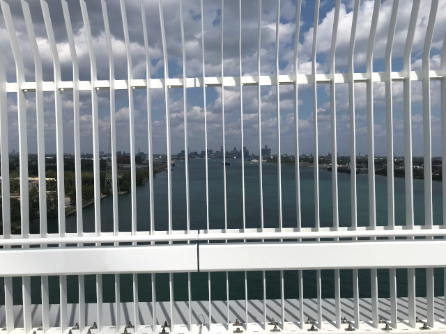
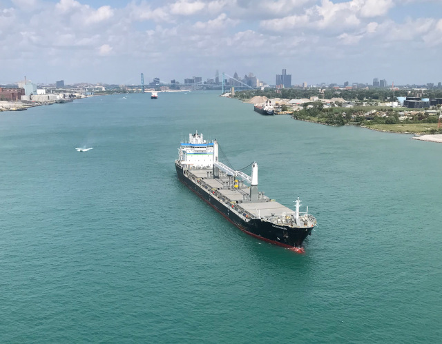
But if you stick you phone between those slats it looks like this:
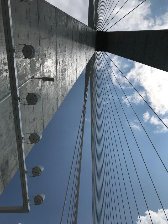
It is required of all bridge walkers to get a picture from straight underneath one of the two main towers. Here is my participation in that.
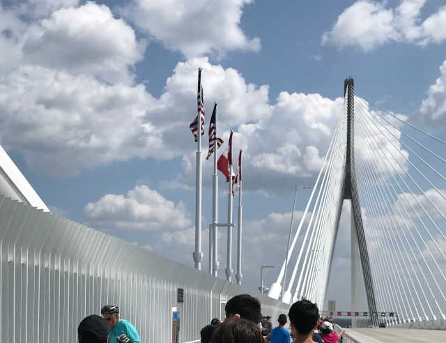
And at the halfway point on the bridge, there is a sign noting the actual border and some flags to help you remember which side is which.
We walked over the bridge, then when we got to Canadian soil, we turned around before having to go through Canadian border patrol.
There is not a good destination for walking.
After you get through the Canadian border patrol, you’re in an industrial area. It’s maybe half a mile to the nearest thing you could go to, which happens to be a Tim Horton’s because this is Canada.
I understand the industrial things there aren’t going to go away, because they are along the river for a reason and it’s not worth it to move things like electrical substations. But I would have liked a reason to continue my walk past the border patrol – give me a destination of some sort. Maybe someone is waiting for the initial flurry of activity to die down and see just how many bikers keep using the bridge, to justify setting up a cafe or bike shop or both near the bridge.
And it’s not just Windsor’s problem, the Detroit side isn’t much better. If you want a tour of bleak industrial settings, both sides of the bridge are fine.
The other two crossings (the tunnel and the Ambassador Bridge) take you to actual neighborhoods with things to do right there, but they don’t allow pedestrians. The GHB is the only one that allows pedestrians, but it was placed for direct access to the 401 freeway so there is not a good destination for pedestrians.
The trailhead is in the wrong spot.
The bridge website lists the official trailhead for starting in Detroit as the Clark Park. And it looks like a nice park. But there is not much parking, and it is almost 2 miles from the GHB pathway entrance. Nobody uses Clark Park to start their walk on the GHB.
There is street parking on W. Jefferson, all along the area by the GHB pathway entrance. There is a parking lot at the historical fort across the street too. And there is Delray Park just a block over and a block down. The official trailhead with parking should be close to the trail, not farther away from the trail than the trail is long.
So after we crossed back over the bridge and got back to the USA border patrol station, we joined the line confidently, knowing what the line was for. It was a long line but kept moving. An once we made it past the border we got in our minivan and left, mission accomplished. The consensus in the group seemed to be that it was fun to do once but no reason to do it again.
Today you shall cross over Ar, the border of Moab.
Deuteronomy 2:18


This little article thingy was written by Some Guy sometime around 12:10 pm and has been carefully placed in the Travel category.